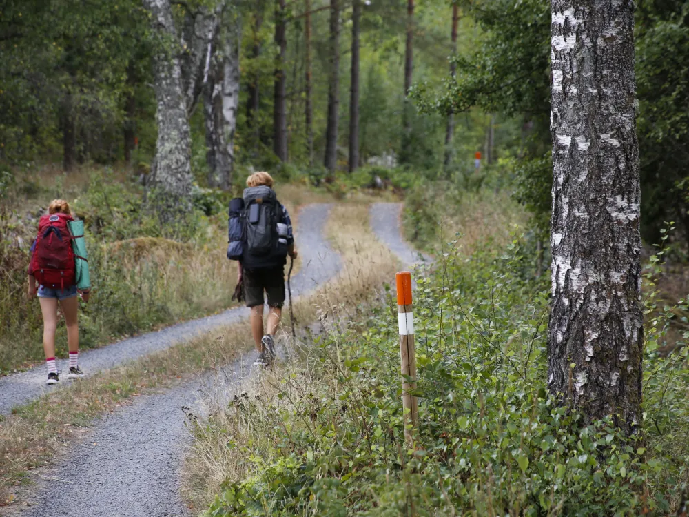
Hiking trail -Blekingeleden
Blekingeleden is a 250 km path through forrest, coastline and grazing landscapes.
Starts in the west in Sölvesborg and streches through all five Blekinge municipalities to Kristianopel in the southeast. Possibilities to sleep in primitive shelters along the 12 smaller stages. Walk the distance you feel for.
The Blekinge trail through Karlskrona:
Trail no 8: Skärsviken-Alljungen, 30 km (both in Ronnebys & Karlskrona)
Trail no 9 Alljungen – Mörtsjöåsen, 23 km
Trail no 10 Mörtsjöåsen – Älmtasjön, 9 km
Trail no 11 Älmtasjön – Kristianopel, 26 km
Trail no 12 Kristianopel – Bröms, 9 km
For other types of "housing" and maps contact the tourist office, +46 (0) 455 30 34 90 10 SEK for each stage map, 50 SEK for all 12 stage maps.
Information
- Phone number +46 455-30 34 90
- Web page www.blekingeleden.com
- External links https://www.blekingeleden.com/kartbibliotek
- E-mail visit@karlskrona.se